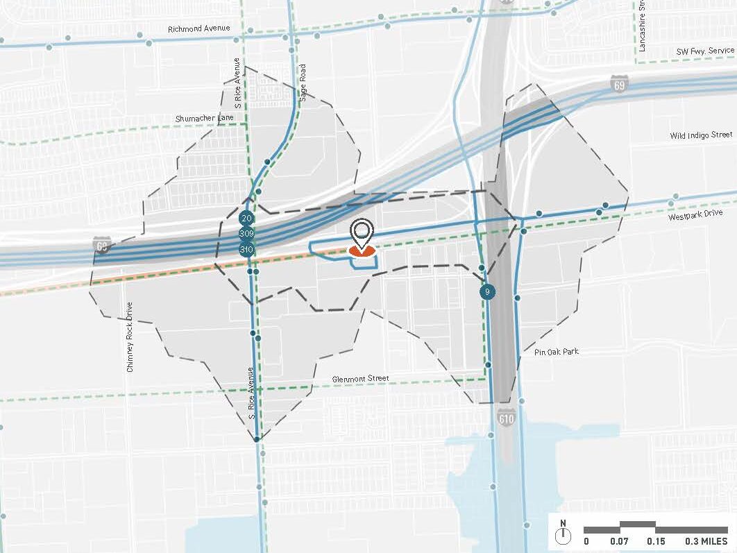
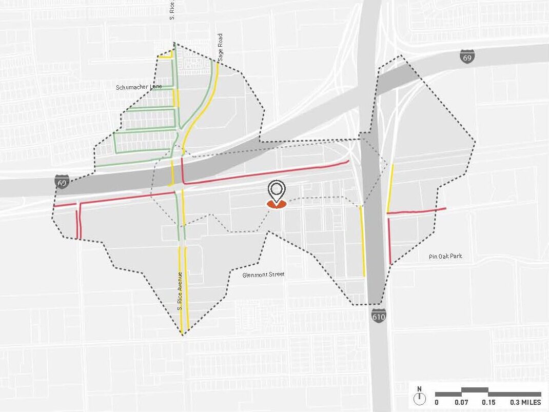
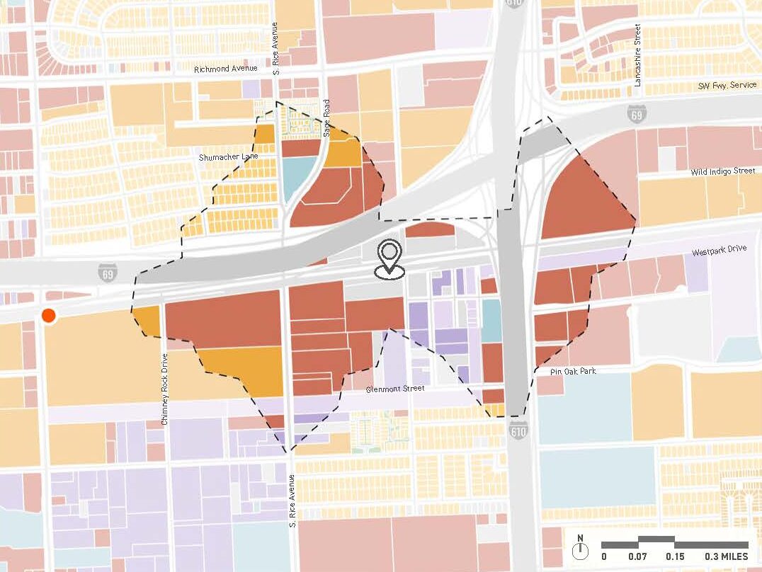
The analysis of the Gulfton Corridor area identifies gaps in pedestrian, bike, and bus networks to improve multi-modal transit accessibility and identify opportunities for future development.
The project seeks to improve the connection between Houston's activity centers by extending access to bus lines.
Through its efforts, the project aimed to transform the area's transit networks by identifying opportunities for improvement.
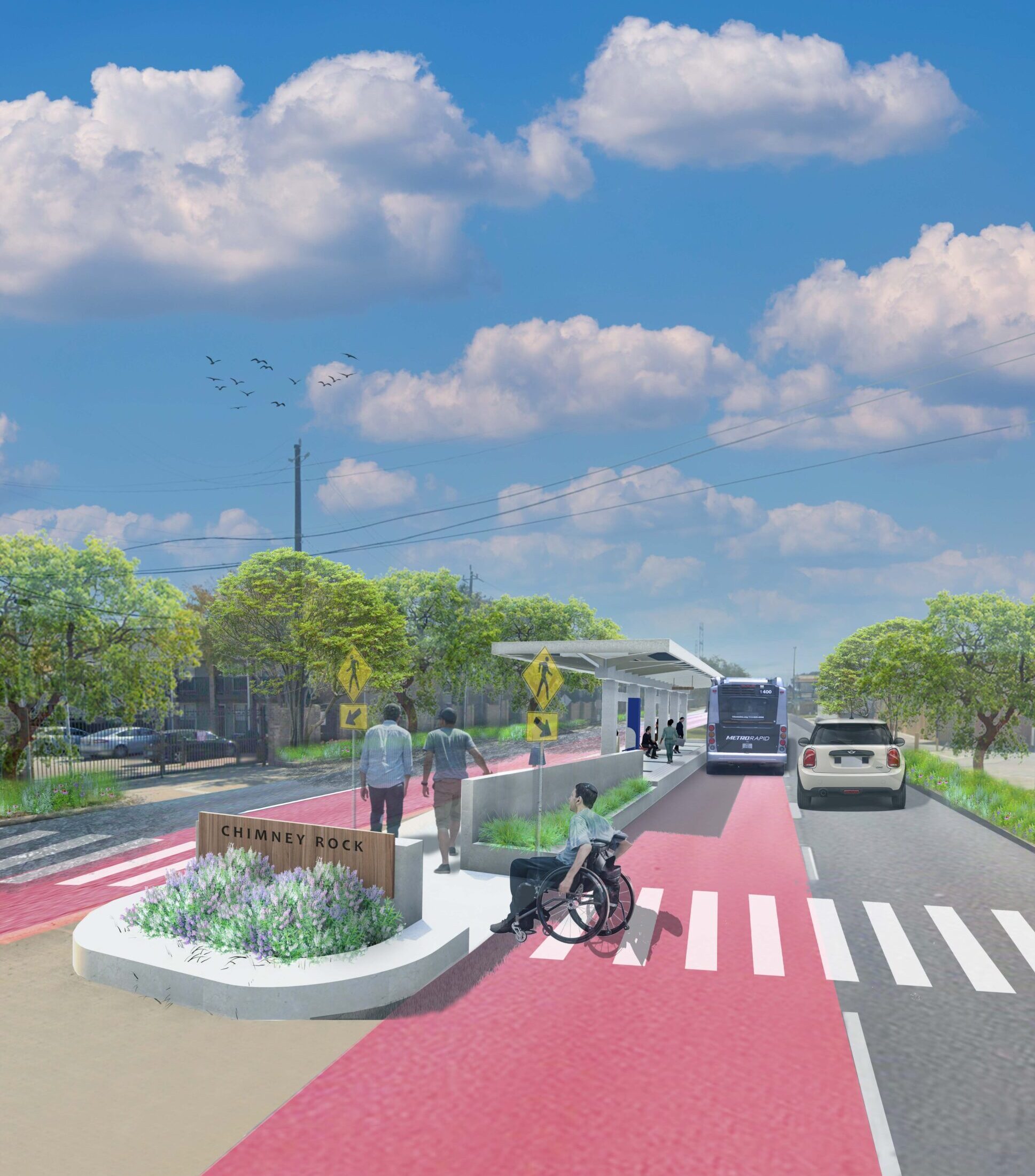
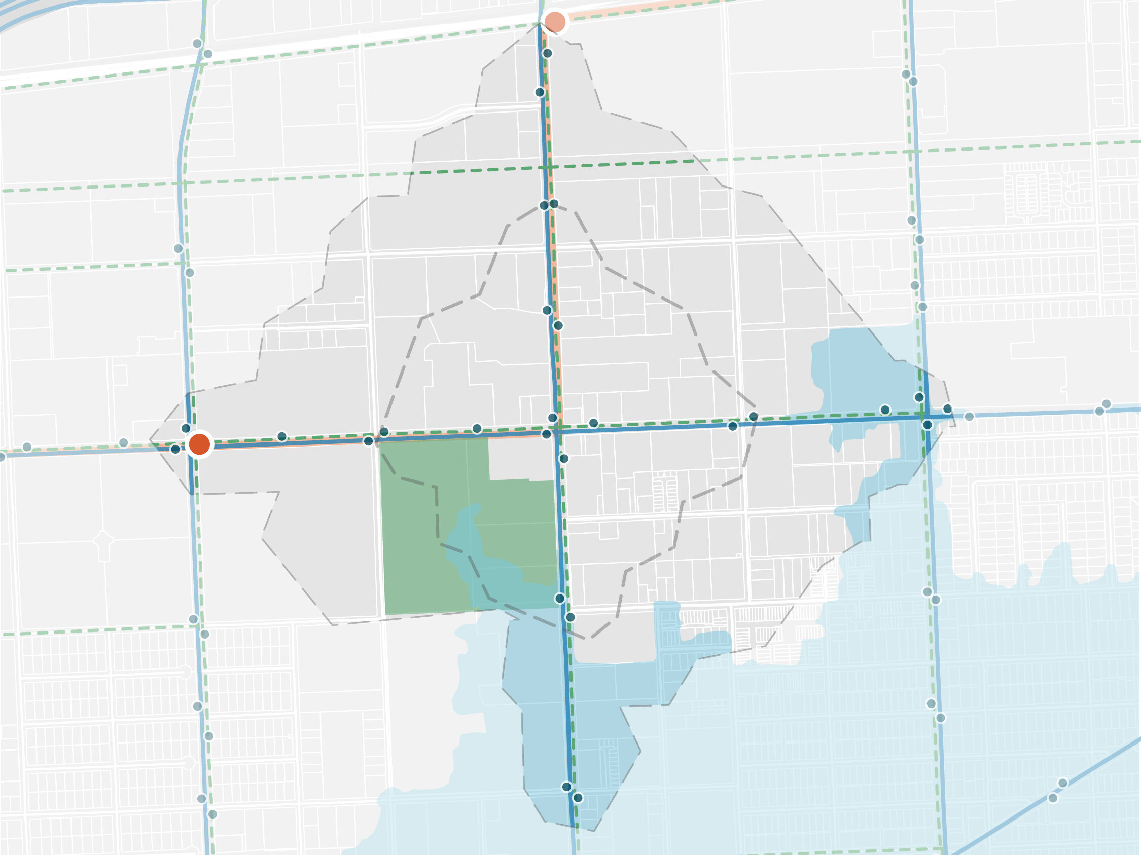
The Gulfton Corridor is an approximately 4-mile long corridor connecting the Westpark/Lower Uptown Transit Center (at the junction of Westpark Drive and I-610) to key streets and nodes within Gulfton. The planned corridor will provide exclusive lanes for METRORapid Bus Rapid Transit (BRT), extending the Silver Line and establishing improved connections between several Houston activity centers. Asakura Robinson teamed up with HDR to review the project area and identify the gaps in existing pedestrian, bike, and bus networks. Data collection and analysis were performed to review the ½ mile and ¼ mile walkshed, existing bike and bus network, existing land use, pedestrian flow to destinations, and redevelopment potential. The analysis aimed to better understand the existing conditions of the station areas and identify gaps for multi-modal transit accessibility and opportunities for future development.